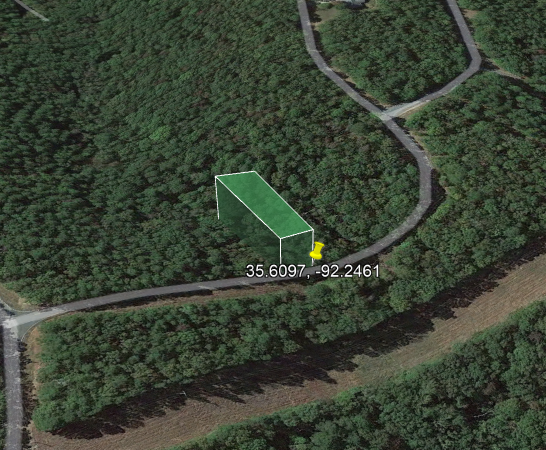
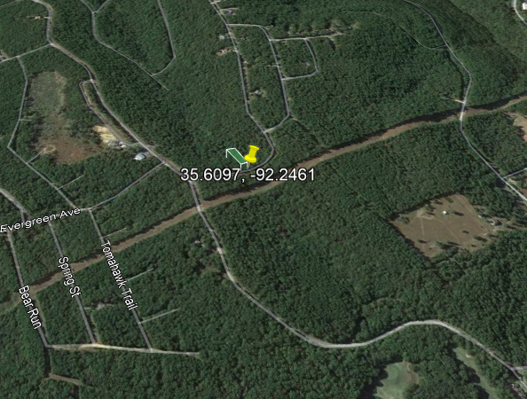
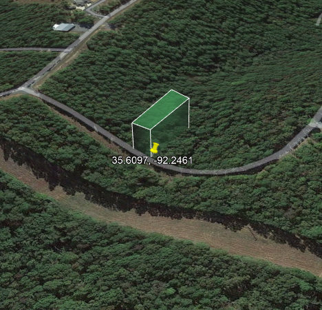
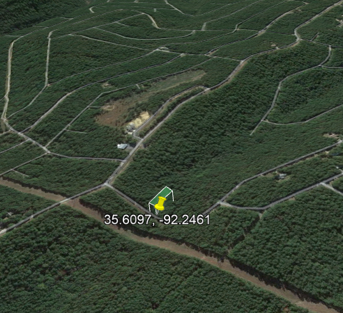
0.34 Acres with Great Access to Greers Ferry Lake!
0.34 Acres with Great Access to Greers Ferry Lake!
Payment Options
Payment Note(s)
If you are interested in reserving this parcel, click “Reserve Now” button for any of the payment options. You will be redirected to our payment page to make the initial reservation payment.
Description
This is your chance to enjoy the best of Van Buren, Arkansas!
Property Information
Parcel Size
0.34 Acres
State
Arkansas
County
Van Buren
Nearest Cities
Little Rock
Parcel Number
4300-15185-0000
Address
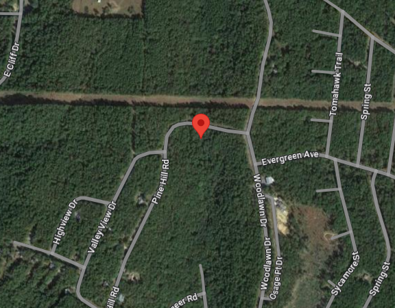
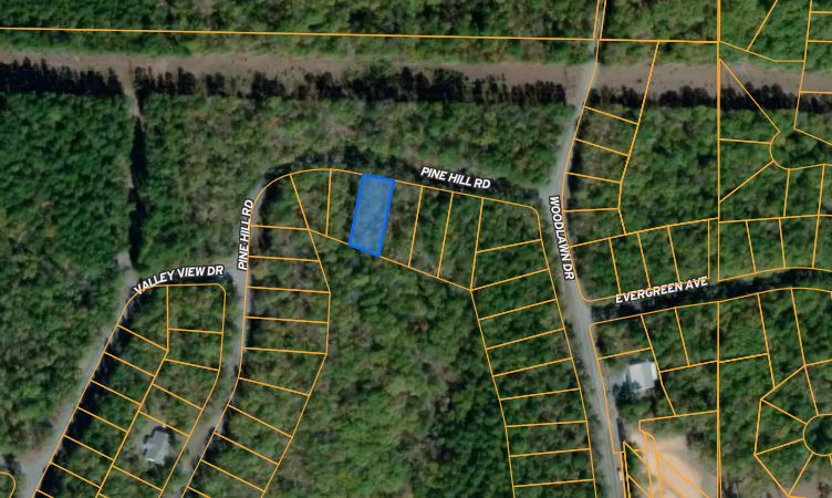
PINE HILL RD, FAIRFIELD BAY, AR, 72088
Legal Description
. Section: 10 Township: 11N Range: 12W Acreage: 0 Lot: 185 Block: 15 City: Addition: INDIAN HILLS School Dist: 03F
Features
Acres
0.34
County
Van Buren
Access
Road
Power
Lot Line
Water
Lot Line
Coordinates
35.6094, -92.246
Zoning
Residential
Elevation
1311 ft.
Purchase Information/Fees
$399
Document Fee
A additional fee of $399 to reserve the property is required to begin the purchase process. This is a non-refundable fee.
$19.75/year
Property Taxes
Property Taxes
$0/year
Misc Fees
Other miscellaneous fees.
Property Description
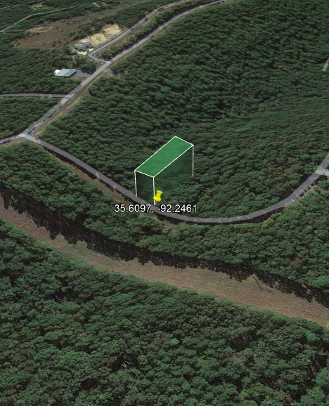
Gorgeous buildable wooded lot with great access, close to Greers Ferry Lake and Sugar Loaf Mountain Nature Trail
Close to Ar-16 for easy access to nearby areas. Greers Ferry, with restaurants and supplies is just 11 miles away.
Just 1.5 hours from Little Rock, the capital of Arkansas with Museums, Zoo’s and other popular sites and attractions
This property is located in the beautiful Van Buren county, Arkansas. This country is home to the Ozark Mountains. Landscape of the county is rugged and mountainous in the north and rugged to rolling terrain in the south. It has many waterfalls, natural bridges, underground taverns, stream fishing, and camping. Close to Greers Ferry Lake that is home to 40.000 acres of water, great for boating, skiing, swimming, and fishing.
Property Details:
APN: 4300-15185-0000
Acreage: .34
County: Van Buren
State: Arkansas
General Location PINE HILL RD, FAIRFIELD BAY, AR, 72088
Elevation: 1311
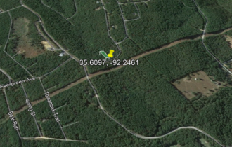
GPS Center Coordinates 35.6094, -92.246
Annual Taxes: 19.75
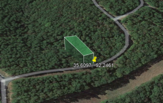
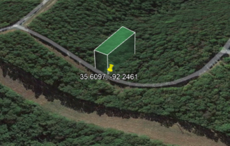
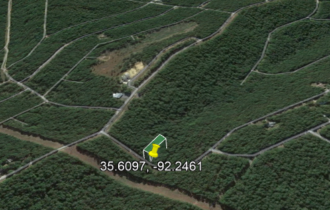
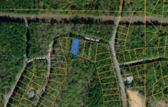
View Property Outline: See a property outline here: https://id.land/ranching/maps/bb15ff57a6ead09faa4167af73b54034/share/unbranded
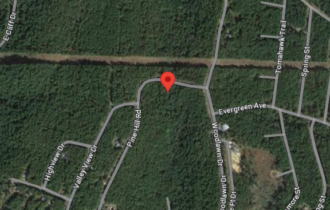
Directions to Property: https://www.google.com/maps/place/35%C2%B036’33.8%22N+92%C2%B014’45.6%22W/@35.6094043,-92.2485749,17z/data=!3m1!4b1!4m4!3m3!8m2!3d35.6094!4d-92.246?entry=ttu


